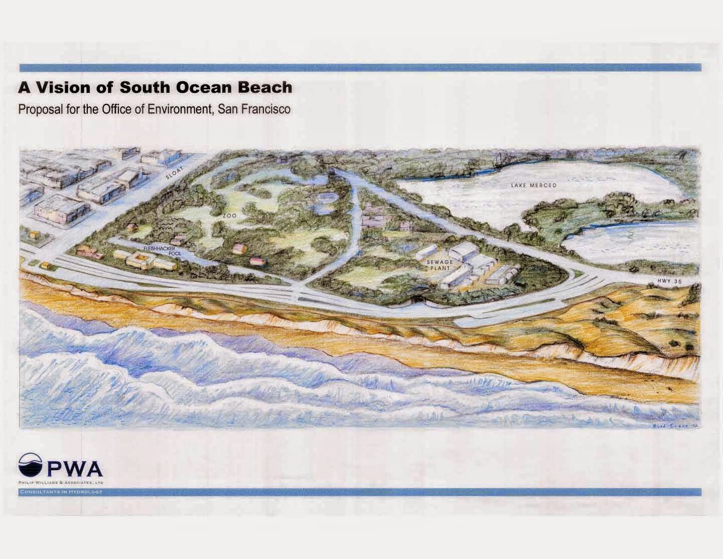
Our first post on this blog highlighted the many stake holders with overlapping jurisdiction at Ocean Beach. The San Francisco Department of Public Works is responsible for the roadway at Great Highway, and to some degree, the Lake Merced waste water pipe carrying untreated water into the treatment plant and the outflow pipe that carries the treated water 4.5 miles out to sea. (I’m looking into the split of authority between the SF PUC and the SF DPW on the pipes.) Consequently, DPW is most worried about its infrastructure, and is keeping the public informed with its new website here.
 San Francisco Wastewater System Map, Source: SFwater.org
At the public meeting last night, most of the diagrams showed the amount of erosion relative to the previous state of the beach. Visibly, anyone could see how the road was threatened as the guard rail hangs from the bluff. What was not visible, however, is how the critical infrastructure of the Lake Merced Transport pipe and the Southwest Ocean Outflow pipe are threatened. All structures structures rely on the support of the surrounding soils, not just the road. I think in a public forum, unseen subterranean pipes never get as much attention as the roads under our feet.
The new DPW website notes that 70 feet of soil have eroded from the beach. This is a troubling number from the perspective of the beach, but is less indicative of the effect on the structures. I’d rather hear that the pipe requires X feet of soil on either side, and this margin has been compromised (or is threatened) for Y length of the pipe. Many of the members of the public at the meeting seemed to be surprised to hear about the Lake Merced Transport Pipe, and there were more than a few questions about it. I’ll stay in contact with the DPW communications department to see what additional information they can provide.
UPDATE: DPW has updated their presentation from Tuesday night and posted it here to give a bit more infomation on the pipe. The new page contains another report by the US Army Corps of Engineers that contains a good overview of the state of the beach in 2005. I'll read through the new USACE report and point out some of the interesinting parts.

No comments:
Post a Comment